| Item Detail |
| |
| |
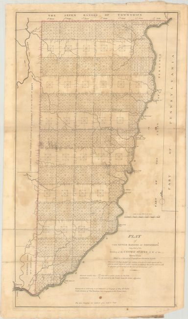
MapMaker: |
Capt. Thomas Hutchins
|
|
| |
| |
Subject: |
Eastern Ohio |
|
| |
Period/Size: |
1814 / 24.0" x 13.3" (61.0 x 33.8 cm)
|
|
| |
Color: |
Colored
|
|
| |
Condition: |
(C+) Issued folding on watermarked paper with contemporary outline color. There is dampstaining, light soiling, and a horizontal misfold at bottom. Several fold separations and edge tears have been closed on verso. (condition help) |
|
| |
Source: |
Carey's General Atlas |
|
| |
References: |
Phillips (Atlases) #722-28; cf. Wheat & Brun #677. |
|
| |
|
|
| Sales Information |
| |
| |
Price: |
|
|
| |
| |
Offered by: |
Old World Auctions |
|
| |
Catalog: |
Auction No. 193 - Antique Maps, Charts, Atlases & Globes (9567) |
|
| |
Lot/Item #: |
285 |
|
| |
| |
Date: |
07/2023
|
|
| |
| |
|