| Item Detail |
| |
| |
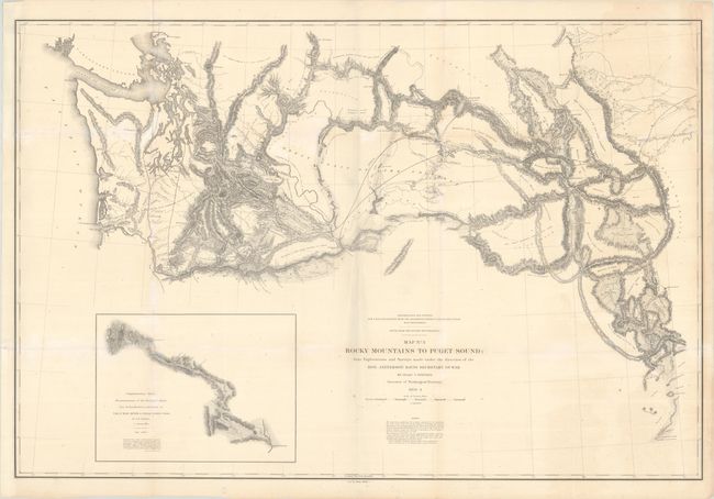
MapMaker: |
Isaac Ingalls Stevens
|
|
| |
| |
Subject: |
Northwestern United States, Washington |
|
| |
Period/Size: |
1853-54 / 24.6" x 36.7" (62.5 x 93.3 cm)
|
|
| |
Color: |
Black & White
|
|
| |
Condition: |
(B+) Issued folding, now flat and backed in archival tissue to repair short fold separations and a couple small holes along the folds. There is a vertical misfold, minor toning and foxing, and light chalky residue in some spots in the map. (condition help) |
|
| |
Source: |
U.S. Pacific Railroad Surveys |
|
| |
References: |
Wheat (TMW) #866. |
|
| |
|
|
| Sales Information |
| |
| |
Price: |
|
|
| |
| |
Offered by: |
Old World Auctions |
|
| |
Catalog: |
Auction No. 193 - Antique Maps, Charts, Atlases & Globes (9567) |
|
| |
Lot/Item #: |
211 |
|
| |
| |
Date: |
07/2023
|
|
| |
| |
|