| Item Detail |
| |
| |
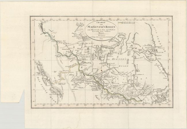
MapMaker: |
Weimar Geographisches Institut
|
|
| |
| |
Subject: |
Canada |
|
| |
Period/Size: |
1802 / 7.4" x 11.3" (18.8 x 28.7 cm)
|
|
| |
Color: |
Colored
|
|
| |
Condition: |
(A) Issued folding on thick hand laid paper with a binding trim in the left blank margin. There is one small spot in the map image, a bit of color offsetting in the bottom blank margin, and minor remnants of paper tape along the top sheet edge on verso. (condition help) |
|
| |
Source: |
|
|
| |
References: |
|
|
| |
|
|
| Sales Information |
| |
| |
Price: |
|
|
| |
| |
Offered by: |
Old World Auctions |
|
| |
Catalog: |
Auction No. 193 - Antique Maps, Charts, Atlases & Globes (9567) |
|
| |
Lot/Item #: |
101 |
|
| |
| |
Date: |
07/2023
|
|
| |
| |
|