| Item Detail |
| |
| |
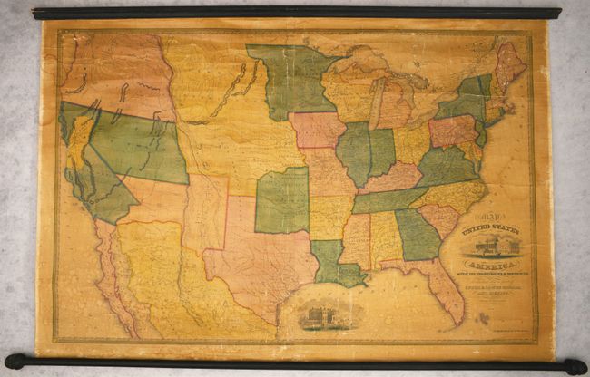
MapMaker: |
Reed & Barber
|
|
| |
| |
Subject: |
United States, Gold |
|
| |
Period/Size: |
1851 / 28.0" x 41.0" (71.2 x 104.2 cm)
|
|
| |
Color: |
Colored
|
|
| |
Condition: |
(B) The map is generally clean and bright with minimal darkening of the varnish. There are some small dampstains in the lower third of the image and one along the left border. Numerous cracks and creases are visible throughout, with a few of the larger (condition help) |
|
| |
Source: |
|
|
| |
References: |
cf. Wheat (TMW) #632 & 689; cf. Wheat (Gold) #114. |
|
| |
|
|
| Sales Information |
| |
| |
Price: |
|
|
| |
| |
Offered by: |
Old World Auctions |
|
| |
Catalog: |
Auction No. 193 - Antique Maps, Charts, Atlases & Globes (9567) |
|
| |
Lot/Item #: |
131 |
|
| |
| |
Date: |
07/2023
|
|
| |
| |
|