| Item Detail |
| |
| |
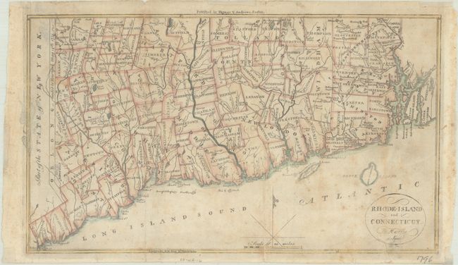
MapMaker: |
Rev. Jedidiah Morse
|
|
| |
| |
Subject: |
Connecticut & Rhode Island |
|
| |
Period/Size: |
1796 / 7.6" x 13.2" (19.3 x 33.6 cm)
|
|
| |
Color: |
Colored
|
|
| |
Condition: |
(B) Issued folding with light toning, moderate foxing and archival repairs to several fold separations. There is show-through along the left border of a previous owner's eagle stamp on verso. Small remnants of framing tape along the edges of the sheet o (condition help) |
|
| |
Source: |
The American Universal Geography |
|
| |
References: |
McCorkle (18th C. Geography Books) #304-6; Wheat & Brun #287. |
|
| |
|
|
| Sales Information |
| |
| |
Price: |
|
|
| |
| |
Offered by: |
Old World Auctions |
|
| |
Catalog: |
Auction No. 193 - Antique Maps, Charts, Atlases & Globes (9567) |
|
| |
Lot/Item #: |
170 |
|
| |
| |
Date: |
07/2023
|
|
| |
| |
|