| Item Detail |
| |
| |
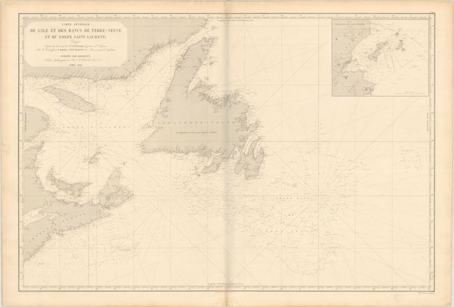
MapMaker: |
Aime Robiquet
|
|
| |
| |
Subject: |
Eastern Canada |
|
| |
Period/Size: |
1852 / 25.9" x 38.6" (65.8 x 98.1 cm)
|
|
| |
Color: |
Black & White
|
|
| |
Condition: |
(B+) Light soiling and minor toning with a short centerfold separation in the bottom margin. There is a grayish shadow along the centerfold in the image that is caused by our scanner and doesn't appear on the map itself. (condition help) |
|
| |
Source: |
|
|
| |
References: |
|
|
| |
|
|
| Sales Information |
| |
| |
Price: |
|
|
| |
| |
Offered by: |
Old World Auctions |
|
| |
Catalog: |
Auction No. 193 - Antique Maps, Charts, Atlases & Globes (9567) |
|
| |
Lot/Item #: |
105 |
|
| |
| |
Date: |
07/2023
|
|
| |
| |
|