| Item Detail |
| |
| |
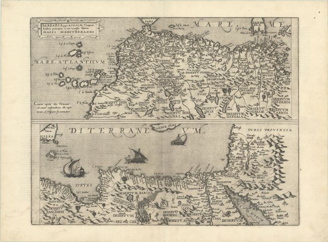
MapMaker: |
Gerard de Jode
|
|
| |
| |
Subject: |
Northern Africa |
|
| |
Period/Size: |
1593 / 14.1" x 18.1" (35.9 x 46.0 cm)
|
|
| |
Color: |
Black & White
|
|
| |
Condition: |
(A+) A dark impression on a bright sheet with a small crown watermark, some printer's ink residue, and very minor marginal soiling. (condition help) |
|
| |
Source: |
Speculum Orbis Terarrum |
|
| |
References: |
Shirley (BL Atlases) T.JOD-1b; Van der Krogt (Vol. III) #8610:32. |
|
| |
|
|
| Sales Information |
| |
| |
Price: |
|
|
| |
| |
Offered by: |
Old World Auctions |
|
| |
Catalog: |
Auction No. 193 - Antique Maps, Charts, Atlases & Globes (9567) |
|
| |
Lot/Item #: |
674 |
|
| |
| |
Date: |
07/2023
|
|
| |
| |
|