| Item Detail |
| |
| |
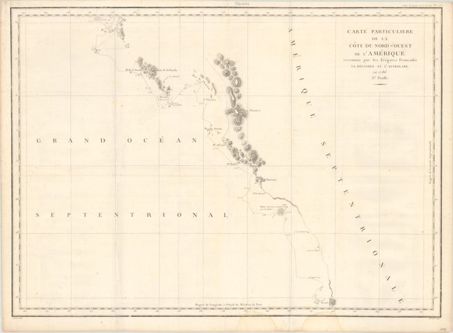
MapMaker: |
Jean Francois Galoup, Comte La Perouse
|
|
| |
| |
Subject: |
Western Canada & Alaska |
|
| |
Period/Size: |
1797 / 19.8" x 27.3" (50.3 x 69.4 cm)
|
|
| |
Color: |
Black & White
|
|
| |
Condition: |
(B+) Issued folding on a sheet with the watermark of "RP FR" encircled in rosary beads. There is light offsetting, some extraneous creasing, and two dampstains that enter the map border at bottom. (condition help) |
|
| |
Source: |
Atlas du Voyage de la Perouse |
|
| |
References: |
Wagner #844; Falk #1797-9. |
|
| |
|
|
| Sales Information |
| |
| |
Price: |
|
|
| |
| |
Offered by: |
Old World Auctions |
|
| |
Catalog: |
Auction No. 193 - Antique Maps, Charts, Atlases & Globes (9567) |
|
| |
Lot/Item #: |
127 |
|
| |
| |
Date: |
07/2023
|
|
| |
| |
|