| Item Detail |
| |
| |
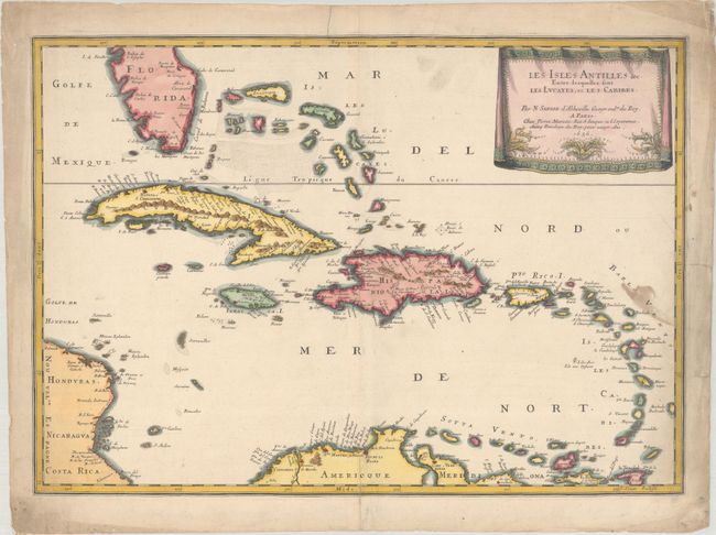
MapMaker: |
N. Sanson/Mariette
|
|
| |
| |
Subject: |
Caribbean |
|
| |
Period/Size: |
1656 / 15.3" x 21.7" (38.9 x 55.2 cm)
|
|
| |
Color: |
Colored
|
|
| |
Condition: |
(B+) There is a small stain along the right border and a centerfold separation at bottom that extends 1.5" into the image that has been closed on verso with archival materials. The blank margins have some soiling, creasing, and small edge tears. (condition help) |
|
| |
Source: |
Cartes Generales de Toutes les Parties du Monde… |
|
| |
References: |
Pastoureau, SANSON V [89]. |
|
| |
|
|
| Sales Information |
| |
| |
Price: |
|
|
| |
| |
Offered by: |
Old World Auctions |
|
| |
Catalog: |
Auction No. 193 - Antique Maps, Charts, Atlases & Globes (9567) |
|
| |
Lot/Item #: |
330 |
|
| |
| |
Date: |
07/2023
|
|
| |
| |
|