| Item Detail |
| |
| |
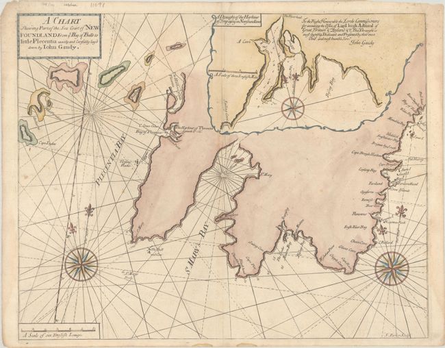
MapMaker: |
Mount & Page
|
|
| |
| |
Subject: |
Newfoundland, Canada |
|
| |
Period/Size: |
1748 / 17.4" x 21.9" (44.2 x 55.7 cm)
|
|
| |
Color: |
Colored
|
|
| |
Condition: |
(B+) There is some scattered foxing and very faint dampstains in the upper third of the image. Additional small dampstains at left and right are almost entirely confined to the blank margins. (condition help) |
|
| |
Source: |
The English Pilot. The Fourth Book |
|
| |
References: |
Shirley (BL Atlases) M.M&P-5a #6. |
|
| |
|
|
| Sales Information |
| |
| |
Price: |
|
|
| |
| |
Offered by: |
Old World Auctions |
|
| |
Catalog: |
Auction No. 193 - Antique Maps, Charts, Atlases & Globes (9567) |
|
| |
Lot/Item #: |
107 |
|
| |
| |
Date: |
07/2023
|
|
| |
| |
|