| Item Detail |
| |
| |
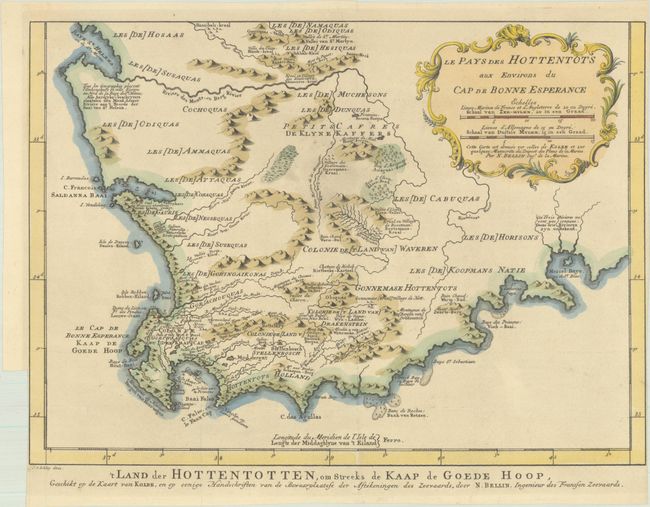
MapMaker: |
Bellin/Van Schley
|
|
| |
| |
Subject: |
Southern Africa |
|
| |
Period/Size: |
1750 / 9.6" x 13.3" (24.4 x 33.8 cm)
|
|
| |
Color: |
Colored
|
|
| |
Condition: |
(B+) Issued folding on a clean sheet with a Strasbourg Lily watermark. There is a binding trim at lower left and the sheet is trimmed to the border at right, also likely by the binder. (condition help) |
|
| |
Source: |
Histoire Generale des Voyages |
|
| |
References: |
|
|
| |
|
|
| Sales Information |
| |
| |
Price: |
|
|
| |
| |
Offered by: |
Old World Auctions |
|
| |
Catalog: |
Auction No. 193 - Antique Maps, Charts, Atlases & Globes (9567) |
|
| |
Lot/Item #: |
691 |
|
| |
| |
Date: |
07/2023
|
|
| |
| |
|