Title:
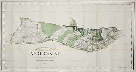
“Molokai. Primary Triangulation by W.D. Alexander and M.D. Monsarrat. Topography and Boundaries by M.D. Monsarrat. Map by F.S. Dodge, C.J. Willis and S.M. Kanakanui. Scale 1:60000. 1897.”
Map Maker:
Hawaii Territorial Surveys
First edition of this large map produced by Alexan... (full text available to subscribers)
| Item Detail |
| |
| |
MapMaker: |
Hawaii Territorial Surveys
|
|
| |
| |
Subject: |
Hawaii |
|
| |
Period/Size: |
1897 / 25.0" x 48.0" (63.5 x 122.0 cm)
|
|
| |
Color: |
Colored
|
|
| |
Condition: |
(B) Great color and strong impression. Toned along some folds with several long split folds, most repaired on verso with archival tape, else very good. (condition help) |
|
| |
Source: |
|
|
| |
References: |
|
|
| |
|
|
| Sales Information |
| |
| |
Price: |
|
|
| |
| |
Offered by: |
Old World Auctions |
|
| |
Catalog: |
Auction No. 98 - Antique Maps, Charts, Atlases & Globes (303) |
|
| |
Lot/Item #: |
161 |
|
| |
| |
Date: |
03/2002
|
|
| |
| |
|
Antique Maps - Valuation and Pricing, Descriptions, Resources |
|
Home |
Information |
Search |
Register |
Contact Us |
Site Map
Americana Exchange, Inc. © 1999 - 2024 Americana Exchange, Inc.. All rights reserved.
OldMaps.com, the OldMaps.com logo and
AMPR are service marks or registered service marks of Americana Exchange, Inc..
|