Title:
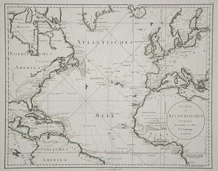
“Karte des Atlantischen Oceans”
Map Maker:
Franz Anton Schrambl
Large, impressive sea chart focussing on the Atlan... (full text available to subscribers)
| Item Detail |
| |
| |
MapMaker: |
Franz Anton Schrambl
|
|
| |
| |
Subject: |
Atlantic |
|
| |
Period/Size: |
1788 / 19.2" x 24.2" (48.8 x 61.5 cm)
|
|
| |
Color: |
Colored
|
|
| |
Condition: |
(A) Clean and crisp with original color. Tissue repair of bottom fold and light damp stain in margin. (condition help) |
|
| |
Source: |
Allgemeiner Grosser Atlas |
|
| |
References: |
|
|
| |
|
|
| Sales Information |
| |
| |
Price: |
|
|
| |
| |
Offered by: |
Old World Auctions |
|
| |
Catalog: |
Auction No. 99 - Antique Maps, Charts, Atlases & Globes (304) |
|
| |
Lot/Item #: |
309 |
|
| |
| |
Date: |
06/2002
|
|
| |
| |
|
Antique Maps - Valuation and Pricing, Descriptions, Resources |
|
Home |
Information |
Search |
Register |
Contact Us |
Site Map
Americana Exchange, Inc. © 1999 - 2024 Americana Exchange, Inc.. All rights reserved.
OldMaps.com, the OldMaps.com logo and
AMPR are service marks or registered service marks of Americana Exchange, Inc..
|