| Item Detail |
| |
| |
MapMaker: |
Henry Francis Walling
|
|
| |
| |
Subject: |
Atlases |
|
| |
Period/Size: |
1877 / 17.8" x 14.5" (45.3 x 36.9 cm)
|
|
| |
Color: |
Colored
|
|
| |
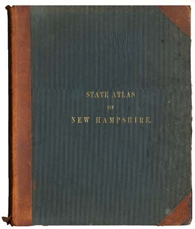
Condition: |
(B) Spine torn, covers rubbed and spotted. Contents and maps very good to fine condition. Foldout map of Coos County torn with archival tape repair. Couple of maps loose from binding. (condition help) |
|
| |
Source: |
Comstock & Cline |
|
| |
References: |
|
|
| |
|
|
| Sales Information |
| |
| |
Price: |
|
|
| |
| |
Offered by: |
Old World Auctions |
|
| |
Catalog: |
Auction No. 101 - Antique Maps, Charts, Atlases & Globes (348) |
|
| |
Lot/Item #: |
570 |
|
| |
| |
Date: |
12/2002
|
|
| |
| |
|