| Item Detail |
| |
| |
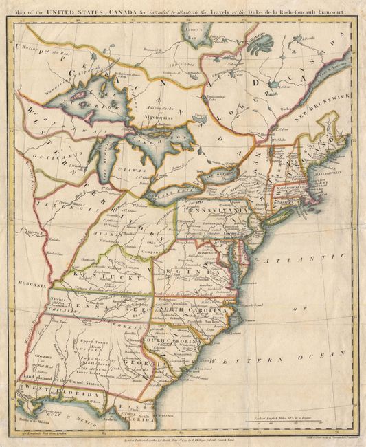
MapMaker: |
Francois Alexander de La Rochefoucald-Liancourt
|
|
| |
| |
Subject: |
United States - Eastern |
|
| |
Period/Size: |
1799 / 16.0" x 13.3" (40.7 x 33.8 cm)
|
|
| |
Color: |
Colored
|
|
| |
Condition: |
(A) Folds reinforced with tissue on verso, bit of faint foxing in bottom margin barely intruding into border. (condition help) |
|
| |
Source: |
Travels Through the United States |
|
| |
References: |
Phillips (M) p. 873.2; The Map Collector, Vol. 72, Baynton-Williams, p.17, #11. |
|
| |
|
|
| Sales Information |
| |
| |
Price: |
|
|
| |
| |
Offered by: |
Old World Auctions |
|
| |
Catalog: |
Auction No. 101 - Antique Maps, Charts, Atlases & Globes (348) |
|
| |
Lot/Item #: |
128 |
|
| |
| |
Date: |
12/2002
|
|
| |
| |
|