| Item Detail |
| |
| |
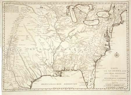
MapMaker: |
Jacques Nicolas Bellin
|
|
| |
| |
Subject: |
Colonial Louisiana |
|
| |
Period/Size: |
1744 / 15.5" x 22.0" (39.4 x 55.9 cm)
|
|
| |
Color: |
Black & White
|
|
| |
Condition: |
(B) Trimmed nearly to neatline at binding side with short binding tear, repaired with tissue on verso, else very good. (condition help) |
|
| |
Source: |
Reisen zu Wasser und zu Lande |
|
| |
References: |
cf. McCorkle 744-1; Brown (Ohio) p. 69-70. |
|
| |
|
|
| Sales Information |
| |
| |
Price: |
|
|
| |
| |
Offered by: |
Old World Auctions |
|
| |
Catalog: |
Auction No. 101 - Antique Maps, Charts, Atlases & Globes (348) |
|
| |
Lot/Item #: |
101 |
|
| |
| |
Date: |
12/2002
|
|
| |
| |
|