| Item Detail |
| |
| |
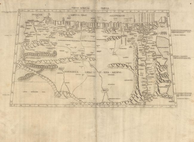
MapMaker: |
Claudius Ptolemy
|
|
| |
| |
Subject: |
Northern Africa |
|
| |
Period/Size: |
1478 / 10.5" x 18.2" (26.7 x 46.3 cm)
|
|
| |
Color: |
Black & White
|
|
| |
Condition: |
(B) Crisp impression on a large sheet of thick, vellum-like paper with wide margins and very nice dollar-sized watermarks. Soft crease down centerfold, a little scattered soiling, small chip at top center, else very good. (condition help) |
|
| |
Source: |
|
|
| |
References: |
Nordenskiold, map XIV; Campbell, "The Earliest Printed Maps 1472-1500." p. 131. |
|
| |
|
|
| Sales Information |
| |
| |
Price: |
|
|
| |
| |
Offered by: |
Old World Auctions |
|
| |
Catalog: |
Auction No. 101 - Antique Maps, Charts, Atlases & Globes (348) |
|
| |
Lot/Item #: |
462 |
|
| |
| |
Date: |
12/2002
|
|
| |
| |
|