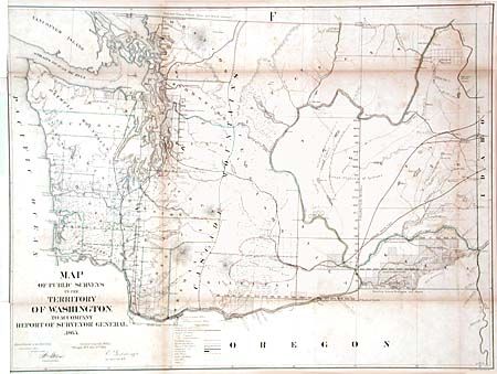
Title:
“Map of Public Surveys in the Territory of Washington.”
Map Maker:
General Land Office
Dated 1865, but issued with the 1866 Annual Report... (full text available to subscribers)
| Item Detail |
| |
| |
MapMaker: |
General Land Office
|
|
| |
| |
Subject: |
Washington |
|
| |
Period/Size: |
1865 / 22.8" x 30.3" (58.0 x 77.0 cm)
|
|
| |
Color: |
Colored
|
|
| |
Condition: |
(B) Backed with linen and close binding trim, both as issued. Toned along fold and scattered foxing. Small splits along folds repaired with linen tape on verso. (condition help) |
|
| |
Source: |
|
|
| |
References: |
Phillips (A) #1388-22. |
|
| |
|
|
| Sales Information |
| |
| |
Price: |
|
|
| |
| |
Offered by: |
Old World Auctions |
|
| |
Catalog: |
Auction No. 102 - Antique Maps, Charts, Atlases & Globes (349) |
|
| |
Lot/Item #: |
239 |
|
| |
| |
Date: |
03/2003
|
|
| |
| |
|
Antique Maps - Valuation and Pricing, Descriptions, Resources |
|
Home |
Information |
Search |
Register |
Contact Us |
Site Map
Americana Exchange, Inc. © 1999 - 2024 Americana Exchange, Inc.. All rights reserved.
OldMaps.com, the OldMaps.com logo and
AMPR are service marks or registered service marks of Americana Exchange, Inc..
|