Title:
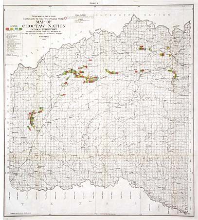
“Map of Choctaw Nation Indian Territory”
Map Maker:
U.S. Geographical Survey
Interesting map showing coal leases per the Chocta... (full text available to subscribers)
| Item Detail |
| |
| |
MapMaker: |
U.S. Geographical Survey
|
|
| |
| |
Subject: |
Oklahoma |
|
| |
Period/Size: |
1900 / 28.4" x 25.5" (72.2 x 64.8 cm)
|
|
| |
Color: |
Colored
|
|
| |
Condition: |
(B) Folding as issued with tissue repairs at a couple of fold intersections and a bit of faint offsetting toned with pastel. (condition help) |
|
| |
Source: |
|
|
| |
References: |
|
|
| |
|
|
| Sales Information |
| |
| |
Price: |
|
|
| |
| |
Offered by: |
Old World Auctions |
|
| |
Catalog: |
Auction No. 102 - Antique Maps, Charts, Atlases & Globes (349) |
|
| |
Lot/Item #: |
220 |
|
| |
| |
Date: |
03/2003
|
|
| |
| |
|
Antique Maps - Valuation and Pricing, Descriptions, Resources |
|
Home |
Information |
Search |
Register |
Contact Us |
Site Map
Americana Exchange, Inc. © 1999 - 2024 Americana Exchange, Inc.. All rights reserved.
OldMaps.com, the OldMaps.com logo and
AMPR are service marks or registered service marks of Americana Exchange, Inc..
|