| Item Detail |
| |
| |
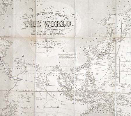
MapMaker: |
James Imray, Sr.
|
|
| |
| |
Subject: |
World |
|
| |
Period/Size: |
1889 / 40.5" x 76.0" (102.9 x 193.1 cm)
|
|
| |
Color: |
Black & White
|
|
| |
Condition: |
(B) Generally remarkable condition for a map of this size. Evenly toned, a little stronger along one fold. Four 4" oil stains at left side of map. Two trips neatly marked in manuscript by a previous owner. (condition help) |
|
| |
Source: |
|
|
| |
References: |
|
|
| |
|
|
| Sales Information |
| |
| |
Price: |
|
|
| |
| |
Offered by: |
Old World Auctions |
|
| |
Catalog: |
Auction No. 102 - Antique Maps, Charts, Atlases & Globes (349) |
|
| |
Lot/Item #: |
034 |
|
| |
| |
Date: |
03/2003
|
|
| |
| |
|