Title:
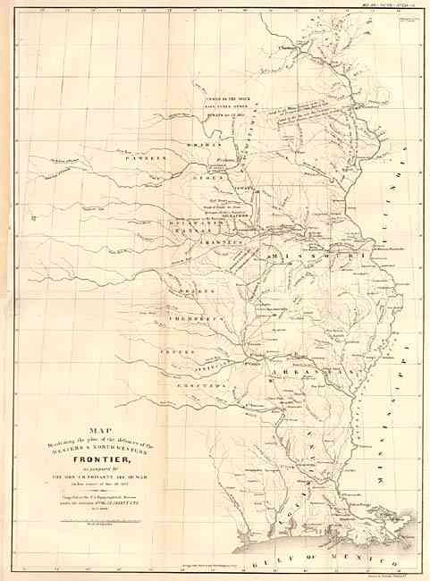
“Map Illustrating the plan of the defences of the Western & North Western Frontier, as proposed by the Hon: J.R. Poinsett, Sec. of War, in his report of Dec. 30, 1837”
Map Maker:
Joel Roberts Poinsett
This map was originally issued as part of the cont... (full text available to subscribers)
| Item Detail |
| |
| |
MapMaker: |
Joel Roberts Poinsett
|
|
| |
| |
Subject: |
Central United States |
|
| |
Period/Size: |
1860 / 21.5" x 15.5" (54.7 x 39.4 cm)
|
|
| |
Color: |
Black & White
|
|
| |
Condition: |
(A) Backed with tissue. Close trimmed at binder's side and remargined for support, away from map. (condition help) |
|
| |
Source: |
Military Affairs Vol. VII, No. 753-A |
|
| |
References: |
cf Wheat [TMW] #427. |
|
| |
|
|
| Sales Information |
| |
| |
Price: |
|
|
| |
| |
Offered by: |
Old World Auctions |
|
| |
Catalog: |
Auction No. 103 - Antique Maps, Charts, Atlases & Globes (350) |
|
| |
Lot/Item #: |
135 |
|
| |
| |
Date: |
06/2003
|
|
| |
| |
|
Antique Maps - Valuation and Pricing, Descriptions, Resources |
|
Home |
Information |
Search |
Register |
Contact Us |
Site Map
Americana Exchange, Inc. © 1999 - 2024 Americana Exchange, Inc.. All rights reserved.
OldMaps.com, the OldMaps.com logo and
AMPR are service marks or registered service marks of Americana Exchange, Inc..
|