| Item Detail |
| |
| |
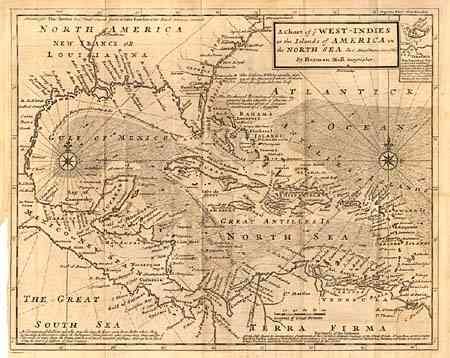
MapMaker: |
Herman Moll
|
|
| |
| |
Subject: |
Caribbean |
|
| |
Period/Size: |
1735 / 11.2" x 14.0" (28.5 x 35.6 cm)
|
|
| |
Color: |
Black & White
|
|
| |
Condition: |
(B) Nice impression on hand laid paper with large watermark. Short tear at binding side with small tape repair on verso with slight show-through. Some offsetting, else very good. (condition help) |
|
| |
Source: |
|
|
| |
References: |
|
|
| |
|
|
| Sales Information |
| |
| |
Price: |
|
|
| |
| |
Offered by: |
Old World Auctions |
|
| |
Catalog: |
Auction No. 103 - Antique Maps, Charts, Atlases & Globes (350) |
|
| |
Lot/Item #: |
223 |
|
| |
| |
Date: |
06/2003
|
|
| |
| |
|