| Item Detail |
| |
| |
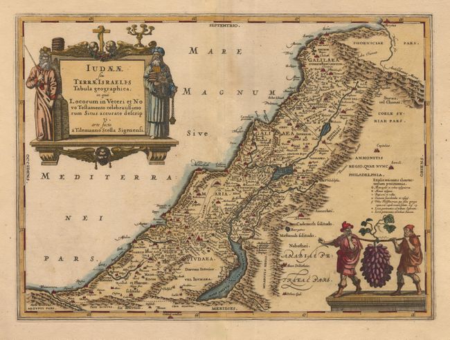
MapMaker: |
Jan Jansson
|
|
| |
| |
Subject: |
Holy Land |
|
| |
Period/Size: |
1666 / 14.0" x 19.2" (35.6 x 48.8 cm)
|
|
| |
Color: |
Colored
|
|
| |
Condition: |
(B) Light toning along centerfold. Lower corners are cut off in blank margins with some worming at lower corner margin. Two old repairs on tear along centerfold in blank margins. Nice old color and beautiful impression on thick paper with wide margins. (condition help) |
|
| |
Source: |
Accuratissima Orbis Antiqui Delineatio |
|
| |
References: |
van der Krogt (Atlantes) 8155:1. |
|
| |
|
|
| Sales Information |
| |
| |
Price: |
|
|
| |
| |
Offered by: |
Old World Auctions |
|
| |
Catalog: |
Auction No. 103 - Antique Maps, Charts, Atlases & Globes (350) |
|
| |
Lot/Item #: |
452 |
|
| |
| |
Date: |
06/2003
|
|
| |
| |
|