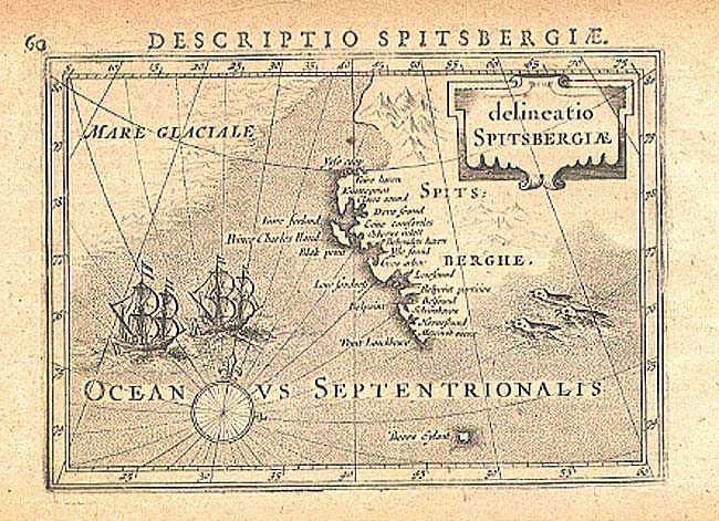
Title:
“Delineatio Spitsbergiae”
Map Maker:
Barent Langenes
A small, but very early map of the region showing ... (full text available to subscribers)
| Item Detail |
| |
| |
MapMaker: |
Barent Langenes
|
|
| |
| |
Subject: |
Spitsbergen |
|
| |
Period/Size: |
1598 / 3.7" x 5.4" (9.4 x 13.8 cm)
|
|
| |
Color: |
Black & White
|
|
| |
Condition: |
(B) Lightly toned. Small tear in top margin, closed with archival tape. Few scattered wormholes in margins and one in map. (condition help) |
|
| |
Source: |
Caert-Thresoor |
|
| |
References: |
|
|
| |
|
|
| Sales Information |
| |
| |
Price: |
|
|
| |
| |
Offered by: |
Old World Auctions |
|
| |
Catalog: |
Auction No. 104 - Antique Maps, Charts, Atlases & Globes (351) |
|
| |
Lot/Item #: |
323 |
|
| |
| |
Date: |
09/2003
|
|
| |
| |
|
Antique Maps - Valuation and Pricing, Descriptions, Resources |
|
Home |
Information |
Search |
Register |
Contact Us |
Site Map
Americana Exchange, Inc. © 1999 - 2024 Americana Exchange, Inc.. All rights reserved.
OldMaps.com, the OldMaps.com logo and
AMPR are service marks or registered service marks of Americana Exchange, Inc..
|