| Item Detail |
| |
| |
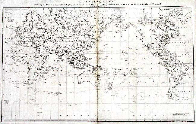
MapMaker: |
James Cook
|
|
| |
| |
Subject: |
World |
|
| |
Period/Size: |
1784 / 21.5" x 35.7" (54.7 x 90.7 cm)
|
|
| |
Color: |
Black & White
|
|
| |
Condition: |
(B) Toned along centerfold. Tissue repairs on folds and two 1" tears into map on bottom inside folds. (condition help) |
|
| |
Source: |
A voyage to the Pacific Ocean (Atlas) |
|
| |
References: |
Perry & Prescott 1784-4; Falk, 1784-4; Wagner (NW) 699. |
|
| |
|
|
| Sales Information |
| |
| |
Price: |
|
|
| |
| |
Offered by: |
Old World Auctions |
|
| |
Catalog: |
Auction No. 104 - Antique Maps, Charts, Atlases & Globes (351) |
|
| |
Lot/Item #: |
036 |
|
| |
| |
Date: |
09/2003
|
|
| |
| |
|