| Item Detail |
| |
| |
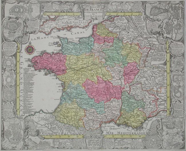
MapMaker: |
Tobias Conrad Lotter
|
|
| |
| |
Subject: |
France |
|
| |
Period/Size: |
1760 / 15.5" x 18.9" (39.4 x 48.0 cm)
|
|
| |
Color: |
Colored
|
|
| |
Condition: |
(B) Sharp impression and fine original color. Margins trimmed, approximately 1/8" from neatline. Two small tears at top extending 1/2" into map, without loss. Tiny wormhole at center. Soft horizontal fold, only visible on verso. Hinge remnants on vers (condition help) |
|
| |
Source: |
|
|
| |
References: |
|
|
| |
|
|
| Sales Information |
| |
| |
Price: |
|
|
| |
| |
Offered by: |
Old World Auctions |
|
| |
Catalog: |
Auction No. 104 - Antique Maps, Charts, Atlases & Globes (351) |
|
| |
Lot/Item #: |
433 |
|
| |
| |
Date: |
09/2003
|
|
| |
| |
|