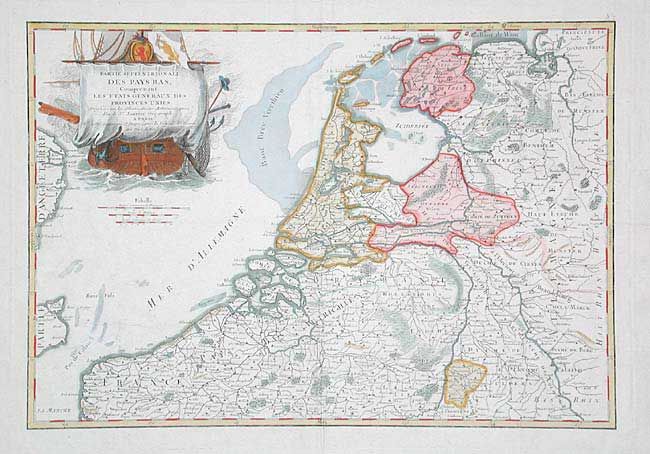
Title:
“Partie Septentrionale des Pays Bas, Comprenant les Etats Generaux des Provinces Unies”
Map Maker:
Jean Janvier
Finely engraved chart of today's Holland, Belgium,... (full text available to subscribers)
| Item Detail |
| |
| |
MapMaker: |
Jean Janvier
|
|
| |
| |
Subject: |
The Netherlands and Belgium |
|
| |
Period/Size: |
1750 / 12.0" x 17.2" (30.5 x 43.7 cm)
|
|
| |
Color: |
Colored
|
|
| |
Condition: |
(B) Good impression and color on full sheet with wide margins. Small area of paper weakness in blank ocean with one small hole, old repairs on verso. Otherwise very good. (condition help) |
|
| |
Source: |
|
|
| |
References: |
|
|
| |
|
|
| Sales Information |
| |
| |
Price: |
|
|
| |
| |
Offered by: |
Old World Auctions |
|
| |
Catalog: |
Auction No. 104 - Antique Maps, Charts, Atlases & Globes (351) |
|
| |
Lot/Item #: |
407 |
|
| |
| |
Date: |
09/2003
|
|
| |
| |
|
Antique Maps - Valuation and Pricing, Descriptions, Resources |
|
Home |
Information |
Search |
Register |
Contact Us |
Site Map
Americana Exchange, Inc. © 1999 - 2024 Americana Exchange, Inc.. All rights reserved.
OldMaps.com, the OldMaps.com logo and
AMPR are service marks or registered service marks of Americana Exchange, Inc..
|