|
|
||
Title:
“Nieuwe Kaart van het Westelykste Deel der Weereld, dtenende tot aanwyzing van de Scheepstogten der Nederlanderen Naar West Indie”
Map Maker:
Isaac Tirion
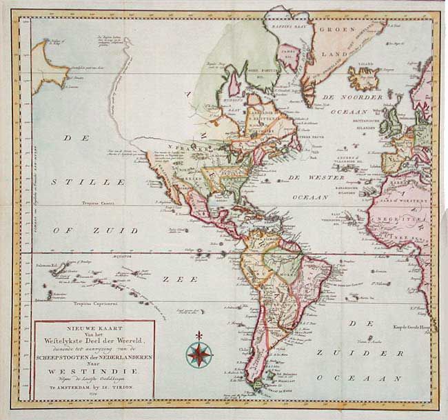
Handsome map of the Americas that also includes a ... (full text available to subscribers)
|
|
|||||||||||||||||||||||||||||||||||||||||||||||||||||||||||||||||||||||||||||||||||||||||
Antique Maps - Valuation and Pricing, Descriptions, Resources | ||||||||||||||||||||||||||||||||||||||||||||||||||||||||||||||||||||||||||||||||||||||||||
|
Home |
Information |
Search |
Register |
Contact Us |
Site Map
Americana Exchange, Inc. © 1999 - 2024 Americana Exchange, Inc.. All rights reserved.
OldMaps.com, the OldMaps.com logo and |