| Item Detail |
| |
| |
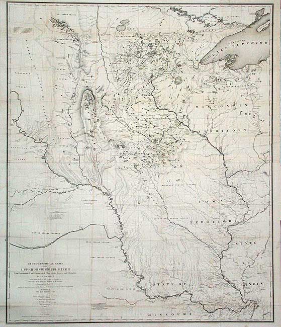
MapMaker: |
U.S. War Department
|
|
| |
| |
Subject: |
United States - Central |
|
| |
Period/Size: |
1843 / 36.0" x 30.2" (91.5 x 76.7 cm)
|
|
| |
Color: |
Black & White
|
|
| |
Condition: |
(A) Issued folding, now backed with archival tissue. A little toning along folds, still very good for a map of this size and age. (condition help) |
|
| |
Source: |
|
|
| |
References: |
Claussen & Friis #390; Schwartz and Ehrenberg, p. 267-268, plt. 165. |
|
| |
|
|
| Sales Information |
| |
| |
Price: |
|
|
| |
| |
Offered by: |
Old World Auctions |
|
| |
Catalog: |
Auction No. 104 - Antique Maps, Charts, Atlases & Globes (351) |
|
| |
Lot/Item #: |
178 |
|
| |
| |
Date: |
09/2003
|
|
| |
| |
|