| Item Detail |
| |
| |
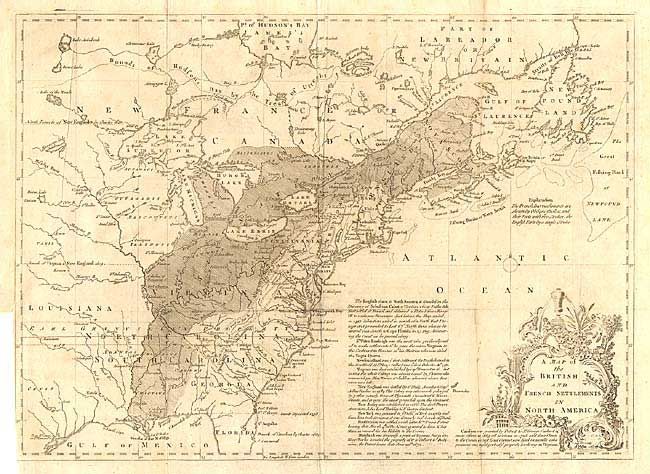
MapMaker: |
John Lodge
|
|
| |
| |
Subject: |
Colonial North America |
|
| |
Period/Size: |
1755 / 11.0" x 15.0" (28.0 x 38.1 cm)
|
|
| |
Color: |
Black & White
|
|
| |
Condition: |
(B) Folding as issued with some minor wear at fold intersection. Outside edge of right margin soiled and chipped, well away from map. Binder's trim into neatline at bottom left with binding tear extending 3" into map with a good repair. (condition help) |
|
| |
Source: |
Gentleman's Magazine |
|
| |
References: |
Jolly GENT-91; McCorkle #755.24. |
|
| |
|
|
| Sales Information |
| |
| |
Price: |
|
|
| |
| |
Offered by: |
Old World Auctions |
|
| |
Catalog: |
Auction No. 104 - Antique Maps, Charts, Atlases & Globes (351) |
|
| |
Lot/Item #: |
120 |
|
| |
| |
Date: |
09/2003
|
|
| |
| |
|