Title:
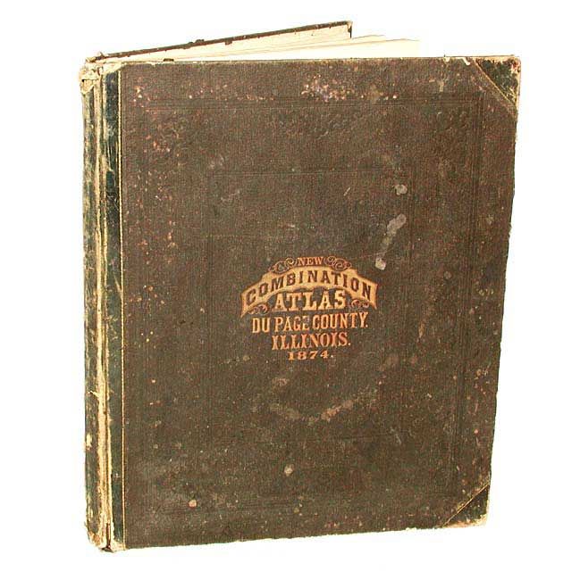
“Combination Atlas Map of Du Page County Illinois. Complied, Drawn and Published From Personal Examinations and Surveys by Thompson Bro's & Burr, Elgin, Ills.”
Map Maker:
Thompson Brothers & Burr
Complete and very nice county atlas with dozens of... (full text available to subscribers)
| Item Detail |
| |
| |
MapMaker: |
Thompson Brothers & Burr
|
|
| |
| |
Subject: |
Atlases |
|
| |
Period/Size: |
1874 / 17.8" x 14.6" (45.3 x 37.1 cm)
|
|
| |
Color: |
Colored
|
|
| |
Condition: |
(B) Covers rubbed and worn, especially spine. Contents tight and generally very good. State map has several creases. One map with corner torn off, away from border. Maps with occasional light foxing but mostly very good. (condition help) |
|
| |
Source: |
|
|
| |
References: |
|
|
| |
|
|
| Sales Information |
| |
| |
Price: |
|
|
| |
| |
Offered by: |
Old World Auctions |
|
| |
Catalog: |
Auction No. 105 - Antique Maps, Charts, Atlases & Globes (358) |
|
| |
Lot/Item #: |
610 |
|
| |
| |
Date: |
12/2003
|
|
| |
| |
|
Antique Maps - Valuation and Pricing, Descriptions, Resources |
|
Home |
Information |
Search |
Register |
Contact Us |
Site Map
Americana Exchange, Inc. © 1999 - 2024 Americana Exchange, Inc.. All rights reserved.
OldMaps.com, the OldMaps.com logo and
AMPR are service marks or registered service marks of Americana Exchange, Inc..
|