| Item Detail |
| |
| |
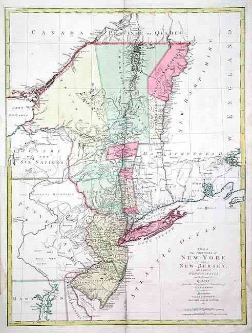
MapMaker: |
Matthaus Albrecht Lotter
|
|
| |
| |
Subject: |
Colonial Northeast |
|
| |
Period/Size: |
1777 / 30.0" x 22.5" (76.2 x 57.2 cm)
|
|
| |
Color: |
Colored
|
|
| |
Condition: |
(A) Map printed on two joined sheets, slightly offset. Couple of soft printer's creases in map, fold separation in blank margin, lightly closed with archival tape and a couple of small damp stains, also in blank margins. (condition help) |
|
| |
Source: |
Grosser Atlas |
|
| |
References: |
McCorkle #777.20; Sellers & Van Ee #1048. |
|
| |
|
|
| Sales Information |
| |
| |
Price: |
|
|
| |
| |
Offered by: |
Old World Auctions |
|
| |
Catalog: |
Auction No. 105 - Antique Maps, Charts, Atlases & Globes (358) |
|
| |
Lot/Item #: |
109 |
|
| |
| |
Date: |
12/2003
|
|
| |
| |
|