| Item Detail |
| |
| |
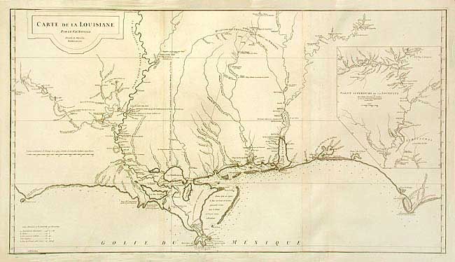
MapMaker: |
Jean Baptiste Bourguignon d' Anville
|
|
| |
| |
Subject: |
Colonial Louisiana |
|
| |
Period/Size: |
1752 / 20.2" x 36.5" (51.3 x 92.8 cm)
|
|
| |
Color: |
Black & White
|
|
| |
Condition: |
(A+) Dark impression on thick hand laid paper. Two sheets joined. A couple faint hints of toning, still remarkable condition for a map of this size. (condition help) |
|
| |
Source: |
|
|
| |
References: |
Phillips (A)# 571-35; Lemmon, Magill & Wiese #24. |
|
| |
|
|
| Sales Information |
| |
| |
Price: |
|
|
| |
| |
Offered by: |
Old World Auctions |
|
| |
Catalog: |
Auction No. 105 - Antique Maps, Charts, Atlases & Globes (358) |
|
| |
Lot/Item #: |
114 |
|
| |
| |
Date: |
12/2003
|
|
| |
| |
|