| Item Detail |
| |
| |
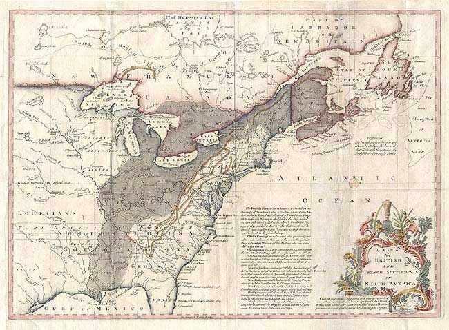
MapMaker: |
John Lodge
|
|
| |
| |
Subject: |
Colonial North America |
|
| |
Period/Size: |
1755 / 10.8" x 15.0" (27.5 x 38.1 cm)
|
|
| |
Color: |
Colored
|
|
| |
Condition: |
(B) Good impression on thick paper with watermark. Some old repairs on verso along fold lines, else very good. (condition help) |
|
| |
Source: |
Gentleman's Magazine |
|
| |
References: |
Jolly GENT-91; McCorkle #755.24. |
|
| |
|
|
| Sales Information |
| |
| |
Price: |
|
|
| |
| |
Offered by: |
Old World Auctions |
|
| |
Catalog: |
Auction No. 105 - Antique Maps, Charts, Atlases & Globes (358) |
|
| |
Lot/Item #: |
101 |
|
| |
| |
Date: |
12/2003
|
|
| |
| |
|