Title:
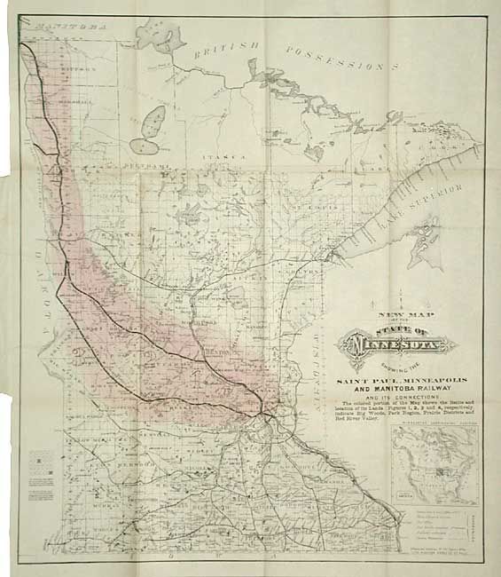
“New Map of the State of Minnesota showing the Saint Paul, Minneapolis and Manitoba Railway and its Connections”
Map Maker:
Railroad Companies
This is a great map delineating the lands for sale... (full text available to subscribers)
| Item Detail |
| |
| |
MapMaker: |
Railroad Companies
|
|
| |
| |
Subject: |
Minnesota |
|
| |
Period/Size: |
1879 / 19.7" x 16.7" (50.1 x 42.5 cm)
|
|
| |
Color: |
Colored
|
|
| |
Condition: |
(A) Map detached. Paper covers of booklet with minor soil, split on spine and detached. Overall very good condition for ephemeral. (condition help) |
|
| |
Source: |
St. Paul, Minneapolis & Manitoba Railway Co. |
|
| |
References: |
|
|
| |
|
|
| Sales Information |
| |
| |
Price: |
|
|
| |
| |
Offered by: |
Old World Auctions |
|
| |
Catalog: |
Auction No. 106 - Antique Maps, Charts, Atlases & Globes (359) |
|
| |
Lot/Item #: |
200 |
|
| |
| |
Date: |
03/2003
|
|
| |
| |
|
Antique Maps - Valuation and Pricing, Descriptions, Resources |
|
Home |
Information |
Search |
Register |
Contact Us |
Site Map
Americana Exchange, Inc. © 1999 - 2024 Americana Exchange, Inc.. All rights reserved.
OldMaps.com, the OldMaps.com logo and
AMPR are service marks or registered service marks of Americana Exchange, Inc..
|