Rister or Sign In to see pricing information


Title:

Map No. 2 Riviere des Lacs to the Rocky Mountains…

Map Maker:

Isaac Ingalls Stevens

Map No. 2 Riviere des Lacs to the Rocky Mountains…

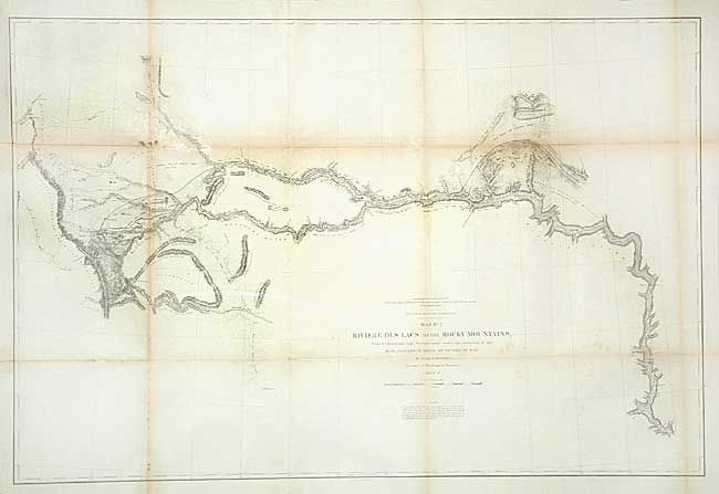
This map details the Stevens surveys beginning on ... (full text available to subscribers)
Item Detail
 
  MapMaker:  

Isaac Ingalls Stevens


  Subject:  United States - Central  
  Period/Size:  1853-4 / 24.5" x 36.7"  (62.3 x 93.3 cm)  
  Color:  Black & White  
  Condition:  (B) A few tiny splits at fold corners with old repairs, backed with tissue. (condition help)  
  Source:  U.S. Pacific Railroad Surveys  
  References:  Wheat (TMW) #862.  
 
 
Sales Information
 
  Price: 

Please register your email to view records, or sign in with email address to see records


  Offered by:  Old World Auctions  
  Catalog:  Auction No. 106 - Antique Maps, Charts, Atlases & Globes (359)  
  Lot/Item #:  143  
 
  Date:  03/2003  


Antique Maps - Valuation and Pricing, Descriptions, Resources


Home | Information | Search | Register | Contact Us | Site Map

Americana Exchange, Inc. © 1999 - 2024 Americana Exchange, Inc.. All rights reserved. OldMaps.com, the OldMaps.com logo and
AMPR are service marks or registered service marks of Americana Exchange, Inc..