Title:
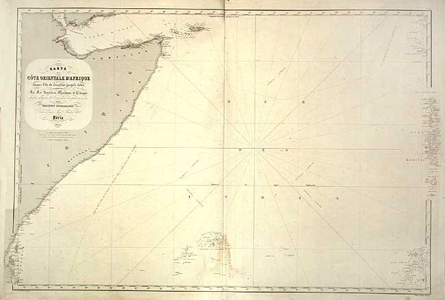
“Carte de la Cote Orientale d' Afrique depuis l' lle de Zanzibar jusqu'a Aden, les Iles Seychelles Maldives, et Chagos…”
Map Maker:
Aime Robiquet
Large-scale sea chart covering the horn of Africa ... (full text available to subscribers)
| Item Detail |
| |
| |
MapMaker: |
Aime Robiquet
|
|
| |
| |
Subject: |
Eastern Africa and Indian Ocean |
|
| |
Period/Size: |
1855 / 26.4" x 40.5" (67.1 x 102.9 cm)
|
|
| |
Color: |
Black & White
|
|
| |
Condition: |
(B) A bit of light foxing and light damp stains. Chip in bottom margin, not affecting map. (condition help) |
|
| |
Source: |
|
|
| |
References: |
|
|
| |
|
|
| Sales Information |
| |
| |
Price: |
|
|
| |
| |
Offered by: |
Old World Auctions |
|
| |
Catalog: |
Auction No. 107 - Antique Maps, Charts, Atlases & Globes (361) |
|
| |
Lot/Item #: |
500 |
|
| |
| |
Date: |
06/2004
|
|
| |
| |
|
Antique Maps - Valuation and Pricing, Descriptions, Resources |
|
Home |
Information |
Search |
Register |
Contact Us |
Site Map
Americana Exchange, Inc. © 1999 - 2024 Americana Exchange, Inc.. All rights reserved.
OldMaps.com, the OldMaps.com logo and
AMPR are service marks or registered service marks of Americana Exchange, Inc..
|