| Item Detail |
| |
| |
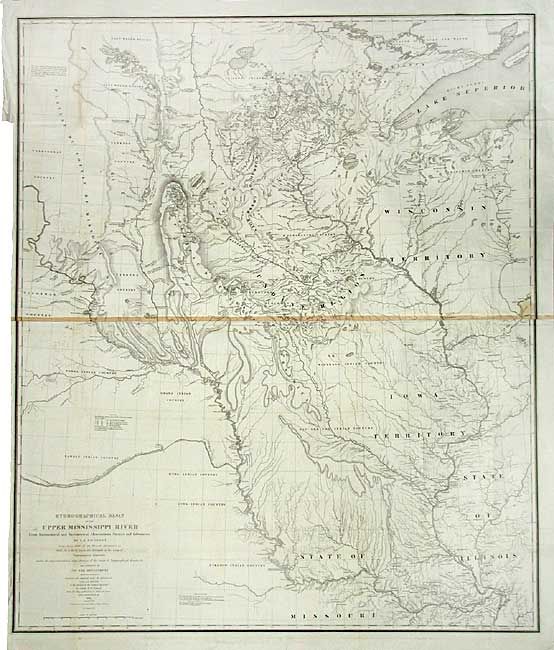
MapMaker: |
U.S. War Department
|
|
| |
| |
Subject: |
United States - Central |
|
| |
Period/Size: |
1843 / 36.0" x 30.2" (91.5 x 76.7 cm)
|
|
| |
Color: |
Black & White
|
|
| |
Condition: |
(B) Brilliant, early impression. Issued folding, now backed with archival tissue. Toned along center where two sheets are joined, rest is quite clean and bright. (condition help) |
|
| |
Source: |
House Doc 52, 28th Congress. 2nd Sess. |
|
| |
References: |
Claussen & Friis #390; Schwartz and Ehrenberg, p. 267-268, plt. 165. |
|
| |
|
|
| Sales Information |
| |
| |
Price: |
|
|
| |
| |
Offered by: |
Old World Auctions |
|
| |
Catalog: |
Auction No. 107 - Antique Maps, Charts, Atlases & Globes (361) |
|
| |
Lot/Item #: |
138 |
|
| |
| |
Date: |
06/2004
|
|
| |
| |
|