| Item Detail |
| |
| |
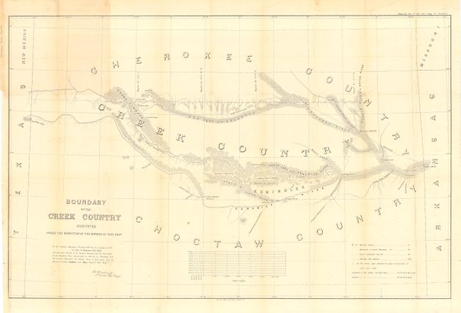
MapMaker: |
U.S. War Department
|
|
| |
| |
Subject: |
Oklahoma |
|
| |
Period/Size: |
1858 / 23.7" x 37.5" (60.2 x 95.3 cm)
|
|
| |
Color: |
Black & White
|
|
| |
Condition: |
(B) Lightly toned along some folds and trace of offsetting, else very good. Issued folded now backed with archival tissue. (condition help) |
|
| |
Source: |
HR Doc. #104. 35th Cong. 1st Sess. |
|
| |
References: |
Phillips (M) p.251 |
|
| |
|
|
| Sales Information |
| |
| |
Price: |
|
|
| |
| |
Offered by: |
Old World Auctions |
|
| |
Catalog: |
Auction No. 108 - Antique Maps, Charts, Atlases & Globes (362) |
|
| |
Lot/Item #: |
217 |
|
| |
| |
Date: |
09/2004
|
|
| |
| |
|