Title:
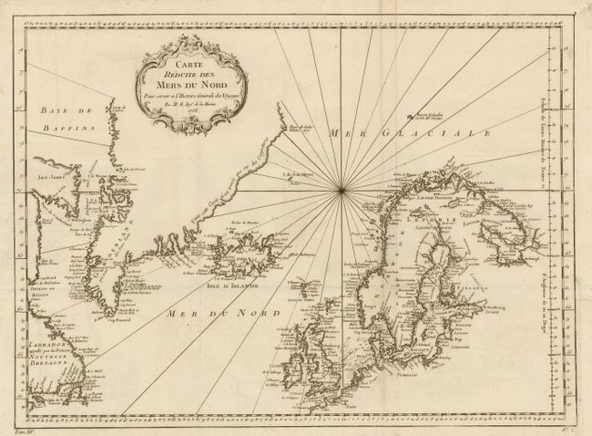
“Carte Reduite des Mers du Nord”
Map Maker:
Jacques Nicolas Bellin
Finely engraved map covering from the eastern shor... (full text available to subscribers)
| Item Detail |
| |
| |
MapMaker: |
Jacques Nicolas Bellin
|
|
| |
| |
Subject: |
Atlantic & Arctic Oceans |
|
| |
Period/Size: |
1758 / 13.0" x 17.5" (33.1 x 44.5 cm)
|
|
| |
Color: |
Black & White
|
|
| |
Condition: |
(B) Folding as issued with light surface soil on fold. (condition help) |
|
| |
Source: |
Prevost's Histoire des Voyages |
|
| |
References: |
|
|
| |
|
|
| Sales Information |
| |
| |
Price: |
|
|
| |
| |
Offered by: |
Old World Auctions |
|
| |
Catalog: |
Auction No. 108 - Antique Maps, Charts, Atlases & Globes (362) |
|
| |
Lot/Item #: |
284 |
|
| |
| |
Date: |
09/2004
|
|
| |
| |
|
Antique Maps - Valuation and Pricing, Descriptions, Resources |
|
Home |
Information |
Search |
Register |
Contact Us |
Site Map
Americana Exchange, Inc. © 1999 - 2024 Americana Exchange, Inc.. All rights reserved.
OldMaps.com, the OldMaps.com logo and
AMPR are service marks or registered service marks of Americana Exchange, Inc..
|