Title:
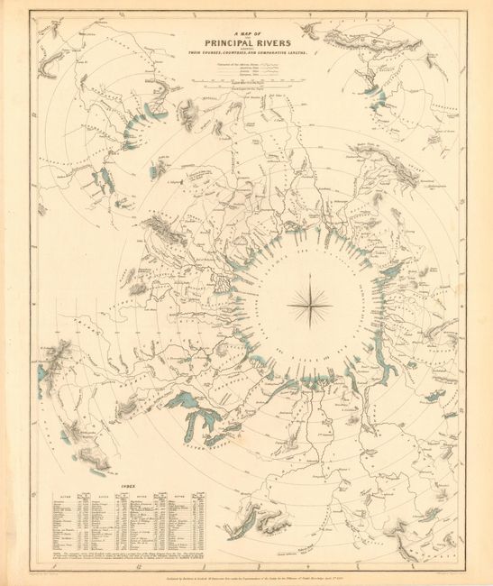
“A Map of the Principal Rivers Their Courses, Countries and Comparative Lengths”
Map Maker:
SDUK Society for the Diffusion of Useful Knowledge
Very interesting comparative chart that is uniquel... (full text available to subscribers)
| Item Detail |
| |
| |
MapMaker: |
SDUK Society for the Diffusion of Useful Knowledge
|
|
| |
| |
Subject: |
Cartographic Miscellany |
|
| |
Period/Size: |
1834 / 15.2" x 12.5" (38.6 x 31.8 cm)
|
|
| |
Color: |
Colored
|
|
| |
Condition: |
(A) Sharp impression and original coloring. Light marginal toning with one light spot in border, still very good. (condition help) |
|
| |
Source: |
|
|
| |
References: |
|
|
| |
|
|
| Sales Information |
| |
| |
Price: |
|
|
| |
| |
Offered by: |
Old World Auctions |
|
| |
Catalog: |
Auction No. 109 - Antique Maps, Charts, Atlases & Globes (385) |
|
| |
Lot/Item #: |
058 |
|
| |
| |
Date: |
12/2004
|
|
| |
| |
|
Antique Maps - Valuation and Pricing, Descriptions, Resources |
|
Home |
Information |
Search |
Register |
Contact Us |
Site Map
Americana Exchange, Inc. © 1999 - 2024 Americana Exchange, Inc.. All rights reserved.
OldMaps.com, the OldMaps.com logo and
AMPR are service marks or registered service marks of Americana Exchange, Inc..
|