Title:
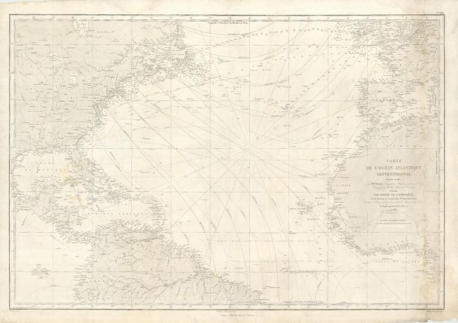
“Carte de l' Ocean Atlantique Septentrional”
Map Maker:
Depot de la Marine
Large sea chart of the North Atlantic. The coastl... (full text available to subscribers)
| Item Detail |
| |
| |
MapMaker: |
Depot de la Marine
|
|
| |
| |
Subject: |
Atlantic Ocean |
|
| |
Period/Size: |
1872 / 24.2" x 36.0" (61.5 x 91.5 cm)
|
|
| |
Color: |
Black & White
|
|
| |
Condition: |
(B) Nice condition for a working sea chart. Couple of pencil and light brown ink notations mark the course of a few voyages. Some minor surface soil. (condition help) |
|
| |
Source: |
|
|
| |
References: |
|
|
| |
|
|
| Sales Information |
| |
| |
Price: |
|
|
| |
| |
Offered by: |
Old World Auctions |
|
| |
Catalog: |
Auction No. 109 - Antique Maps, Charts, Atlases & Globes (385) |
|
| |
Lot/Item #: |
335 |
|
| |
| |
Date: |
12/2004
|
|
| |
| |
|
Antique Maps - Valuation and Pricing, Descriptions, Resources |
|
Home |
Information |
Search |
Register |
Contact Us |
Site Map
Americana Exchange, Inc. © 1999 - 2024 Americana Exchange, Inc.. All rights reserved.
OldMaps.com, the OldMaps.com logo and
AMPR are service marks or registered service marks of Americana Exchange, Inc..
|