| Item Detail |
| |
| |
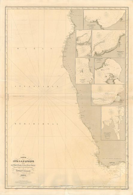
MapMaker: |
Aime Robiquet
|
|
| |
| |
Subject: |
Africa - Southern |
|
| |
Period/Size: |
1854 / 39.0" x 26.5" (99.1 x 67.4 cm)
|
|
| |
Color: |
Black & White
|
|
| |
Condition: |
(C) Generally clean and attractive. Tissue repairs of a few tears and two paper replacements; one of a hole 1.4" in size affecting the inset of Alexander Bay, and the other in the bottom margin just entering the neatline. (condition help) |
|
| |
Source: |
Atlas Hydrographique |
|
| |
References: |
|
|
| |
|
|
| Sales Information |
| |
| |
Price: |
|
|
| |
| |
Offered by: |
Old World Auctions |
|
| |
Catalog: |
Auction No. 109 - Antique Maps, Charts, Atlases & Globes (385) |
|
| |
Lot/Item #: |
694 |
|
| |
| |
Date: |
12/2004
|
|
| |
| |
|