| Item Detail |
| |
| |
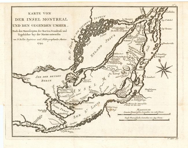
MapMaker: |
Jacques Nicolas Bellin
|
|
| |
| |
Subject: |
Canada |
|
| |
Period/Size: |
1744 / 9.5" x 12.2" (24.2 x 31.0 cm)
|
|
| |
Color: |
Black & White
|
|
| |
Condition: |
(A) Beautiful, dark impression on hand laid paper with watermark and original margins. A couple of small spots, still very good. (condition help) |
|
| |
Source: |
Allegmeine Historie der Reisen zu Wasser und zu Lande |
|
| |
References: |
Kershaw #1089. |
|
| |
|
|
| Sales Information |
| |
| |
Price: |
|
|
| |
| |
Offered by: |
Old World Auctions |
|
| |
Catalog: |
Auction No. 109 - Antique Maps, Charts, Atlases & Globes (385) |
|
| |
Lot/Item #: |
131 |
|
| |
| |
Date: |
12/2004
|
|
| |
| |
|