| Item Detail |
| |
| |
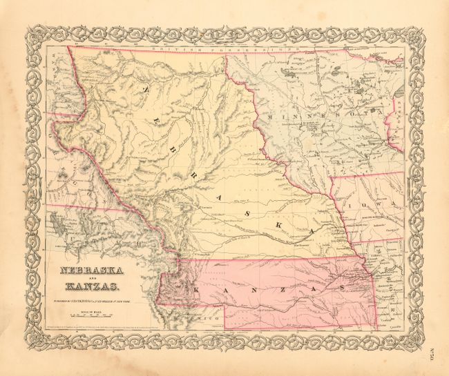
MapMaker: |
Joseph Hutchins Colton
|
|
| |
| |
Subject: |
United States - Central |
|
| |
Period/Size: |
1855 / 13.0" x 16.0" (33.1 x 40.7 cm)
|
|
| |
Color: |
Colored
|
|
| |
Condition: |
(B) Beautiful, crisp impression with fine original coloring and wide margins. A little light foxing in blank area left of title and just a couple spots in map, and some marginal staining entering border at lower left. (condition help) |
|
| |
Source: |
Atlas of the World |
|
| |
References: |
Karrow(a) Vol.12, pp.66-68; Wheat (b) #886. |
|
| |
|
|
| Sales Information |
| |
| |
Price: |
|
|
| |
| |
Offered by: |
Old World Auctions |
|
| |
Catalog: |
Auction No. 109 - Antique Maps, Charts, Atlases & Globes (385) |
|
| |
Lot/Item #: |
162 |
|
| |
| |
Date: |
12/2004
|
|
| |
| |
|