| Item Detail |
| |
| |
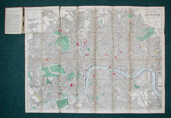
MapMaker: |
George Washington Bacon & Company
|
|
| |
| |
Subject: |
England, London |
|
| |
Period/Size: |
1874 / 24.0" x 32.2" (61.0 x 81.8 cm)
|
|
| |
Color: |
Colored
|
|
| |
Condition: |
(C) Map is overall good with light toning and several splits on folds, without loss and all easy to repair. Paper label and cover slightly rubbed with small split on spine. (condition help) |
|
| |
Source: |
|
|
| |
References: |
|
|
| |
|
|
| Sales Information |
| |
| |
Price: |
|
|
| |
| |
Offered by: |
Old World Auctions |
|
| |
Catalog: |
Auction No. 110 - Antique Maps, Charts, Atlases & Globes (386) |
|
| |
Lot/Item #: |
348 |
|
| |
| |
Date: |
03/2005
|
|
| |
| |
|