| Item Detail |
| |
| |
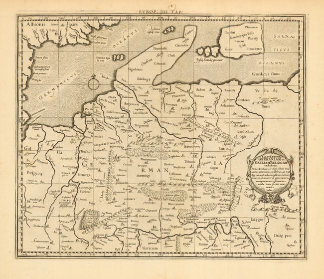
MapMaker: |
Ptolemy/Mercator
|
|
| |
| |
Subject: |
Germany |
|
| |
Period/Size: |
1698 / 13.4" x 16.0" (34.1 x 40.7 cm)
|
|
| |
Color: |
Black & White
|
|
| |
Condition: |
(A) Minor flaws in margins, well away from map. A few light spots in map, still very good. (condition help) |
|
| |
Source: |
Claudii Ptolemaei Tabulae Geographicaeģ |
|
| |
References: |
Mickwitz & Miekkavaara, (Nordenskiold Vol. 2) #234-22. |
|
| |
|
|
| Sales Information |
| |
| |
Price: |
|
|
| |
| |
Offered by: |
Old World Auctions |
|
| |
Catalog: |
Auction No. 110 - Antique Maps, Charts, Atlases & Globes (386) |
|
| |
Lot/Item #: |
486 |
|
| |
| |
Date: |
03/2005
|
|
| |
| |
|