| Item Detail |
| |
| |
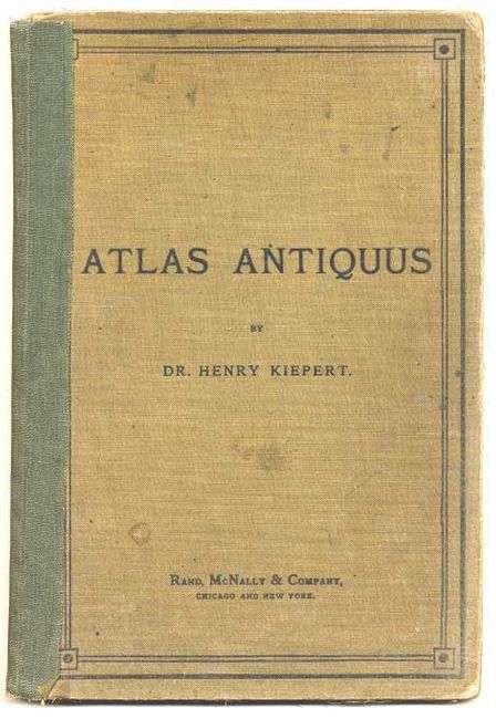
MapMaker: |
Heinrich C. Kiepert
|
|
| |
| |
Subject: |
Atlases |
|
| |
Period/Size: |
1903 / 14.5" x 10.0" (36.9 x 25.4 cm)
|
|
| |
Color: |
Colored
|
|
| |
Condition: |
(B) Well worn covers, with old green tape along spine, which is coming away. Some ink marks, and an blue ink stain in margin of one map. School stamps on blank end papers. Some maps with short marginal centerfold splits but generally clean and bright. (condition help) |
|
| |
Source: |
Rand McNally & Co. |
|
| |
References: |
|
|
| |
|
|
| Sales Information |
| |
| |
Price: |
|
|
| |
| |
Offered by: |
Old World Auctions |
|
| |
Catalog: |
Auction No. 110 - Antique Maps, Charts, Atlases & Globes (386) |
|
| |
Lot/Item #: |
746 |
|
| |
| |
Date: |
03/2005
|
|
| |
| |
|