| Item Detail |
| |
| |
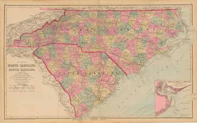
MapMaker: |
O.W. Gray & Son
|
|
| |
| |
Subject: |
North Carolina and South Carolina |
|
| |
Period/Size: |
1881 / 16.0" x 26.5" (40.7 x 67.4 cm)
|
|
| |
Color: |
Colored
|
|
| |
Condition: |
(B) Nice impression and coloring with original margins. Light tide mark in top and bottom margins, just into map border, and patch of paper pulled up on neatline, else fine. (condition help) |
|
| |
Source: |
The National Atlas |
|
| |
References: |
|
|
| |
|
|
| Sales Information |
| |
| |
Price: |
|
|
| |
| |
Offered by: |
Old World Auctions |
|
| |
Catalog: |
Auction No. 110 - Antique Maps, Charts, Atlases & Globes (386) |
|
| |
Lot/Item #: |
145 |
|
| |
| |
Date: |
03/2005
|
|
| |
| |
|