| Item Detail |
| |
| |
MapMaker: |
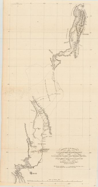
Robert S. Williamson
|
|
| |
| |
Subject: |
California |
|
| |
Period/Size: |
1849 / 23.5" x 10.7" (59.7 x 27.2 cm)
|
|
| |
Color: |
Black & White
|
|
| |
Condition: |
(A) Margin extended at bottom for framing. A couple of spots in map, still very good. Issued folding, now pressed and backed with archival tissue. (condition help) |
|
| |
Source: |
Ex. Senate doc. 47, 31st Cong., 1st Sess. |
|
| |
References: |
Wheat (TMW) #700; Wheat (Gold) #182. |
|
| |
|
|
| Sales Information |
| |
| |
Price: |
|
|
| |
| |
Offered by: |
Old World Auctions |
|
| |
Catalog: |
Auction No. 110 - Antique Maps, Charts, Atlases & Globes (386) |
|
| |
Lot/Item #: |
166 |
|
| |
| |
Date: |
03/2005
|
|
| |
| |
|